| The Two Valleys |
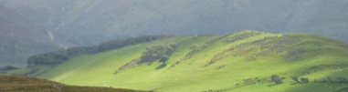
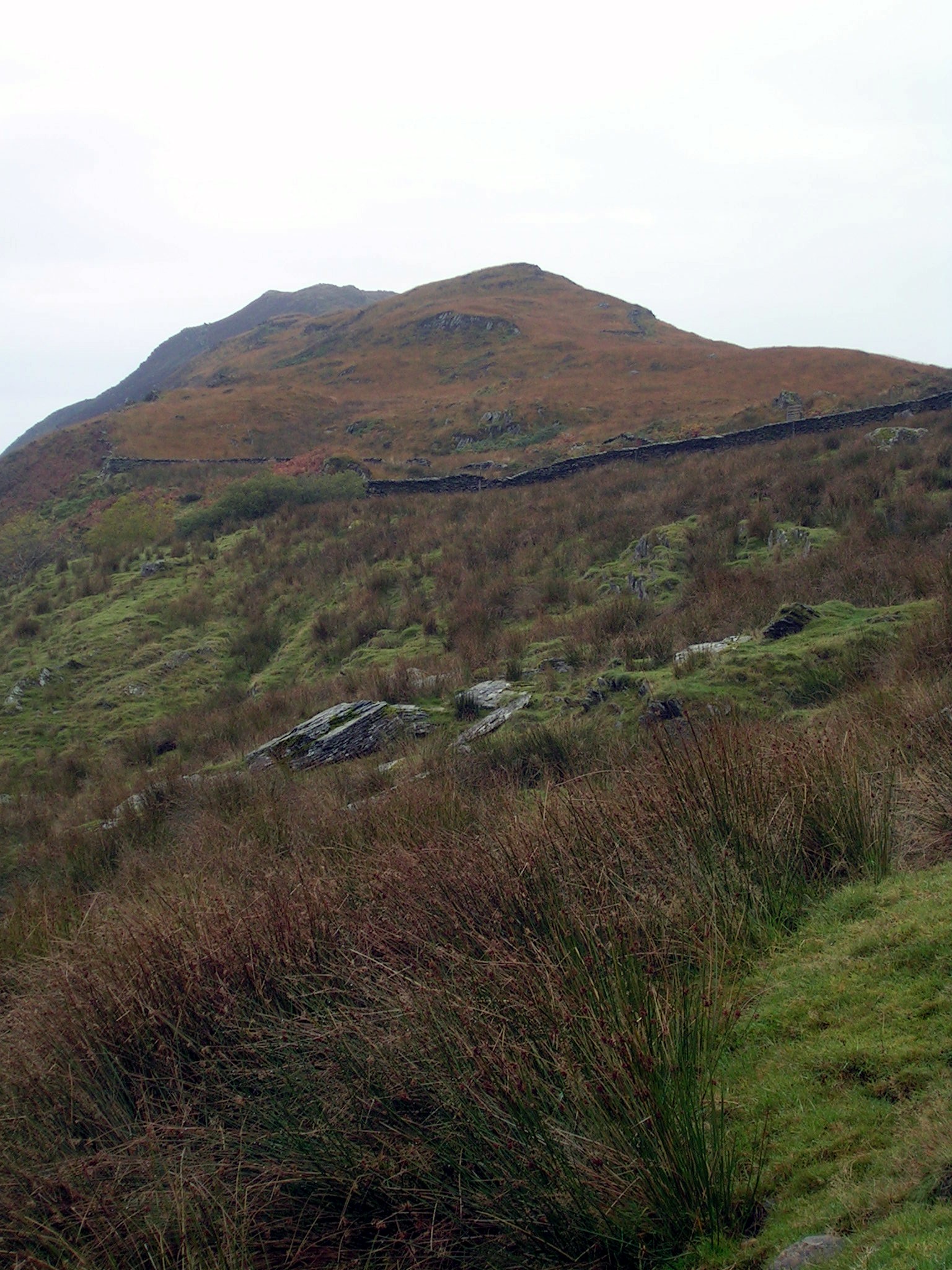
8 miles, 3,800ft. Another of my favourite walks, mainly because of the contrast in the two valleys. Park at Llanfihangel car park, and maybe explore the church with it's three-dimensional map of the area. Park on the red circle below, and either load the GPX file into your GPS, or follow your nose! Follow the track as if going up Cadair, and cross the valley by the bridge over the stream here. Follow the track to Egypt (there used to be a sign there saying "Egypt", so that's what I've known it as ever since) and then go zig-zag up the hillside to Pencoed. From there follow the path along the valley, past the Devil's stone (if you can find it). Have your picnic at the far end of the valley, overlooking the Tal-y-Llyn. Then come down through the Coed Maes y Pandy, then up the track to the Nant yr Eira ("Stream of the Snows"). At the ruined cottage, if you look across to the other side of the valley, you can see an old silver mine (lead mine?) and its spoil heap in the hillside.
|

|
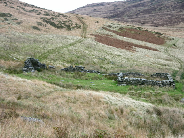
© Copyright Liz Dawson and licensed for reuse under this Creative Commons Licence
See other pictures of the Waun Rhiwr ogof here. And Nant yr Eira here.
To download GPX Files, right-click the link, choose Save Link As ..., and save it to wherever you keep route files.
See the documentation that came with your GPS for information on how to download the route to your GPS.
These are a selection of Ordnance Survey Maps that cover this walk.
Geocaches on route
Blog
Pictures

Ci Ddu

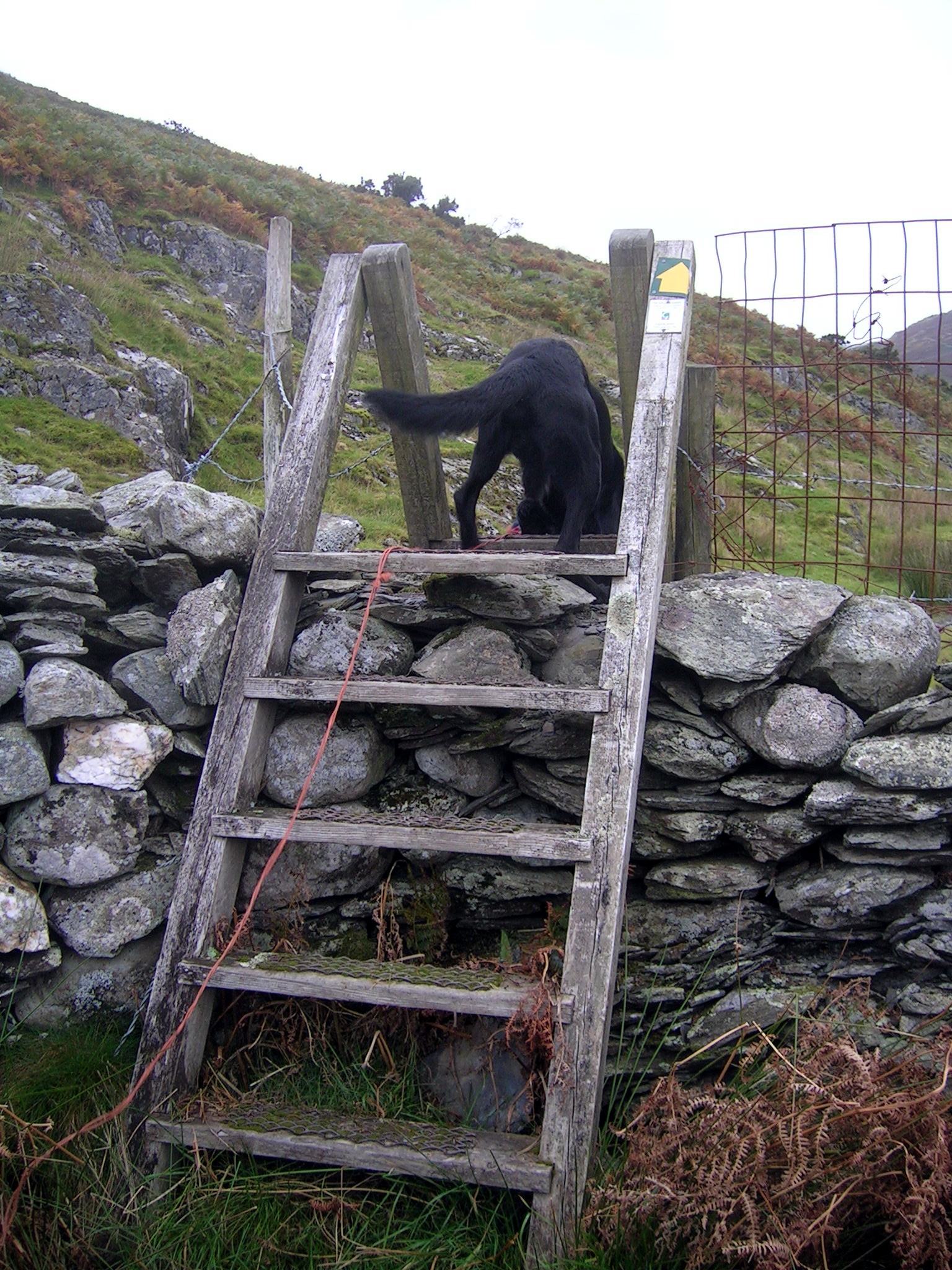
Stylish Dog
Not a Lame Dog
